


Annapurna Base Camp Trek Map With Distance
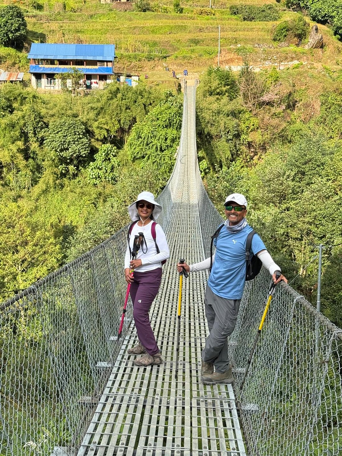
Table of Contents
Annapurna Base Camp Trek Map With Distance: Complete Route Guide.
The Annapurna Base Camp (ABC) Trek is one of Nepal's most iconic Himalayan adventures, attracting thousands of trekkers every year. Before beginning the journey, understanding the Annapurna Base Camp Trek map with distance is essential for planning your itinerary, estimating trekking hours, and preparing for altitude gain. Whether you're trekking independently or with an experienced guide, knowing the daily route helps ensure a safe and enjoyable adventure.
At Unique Sherpa Trek & Expedition Pvt. Ltd., we provide professionally guided Annapurna Base Camp treks with detailed route planning, experienced Sherpa guides, and personalized itineraries. This guide explains the trekking map, distances between villages, elevations, and walking times to help you prepare for an unforgettable Himalayan journey.
Annapurna Base Camp Trek Overview
The classic Annapurna Base Camp Trek begins with a drive from Pokhara to the trailhead at either Nayapul, Ghandruk, or Jhinu Danda, depending on your itinerary. The trail passes through traditional Gurung and Magar villages, dense rhododendron forests, bamboo groves, cascading waterfalls, suspension bridges, and alpine landscapes before reaching Annapurna Base Camp at 4,130 meters (13,550 feet).
The total trekking distance varies depending on the chosen route but generally ranges between 65 and 80 kilometers (40–50 miles).
Annapurna Base Camp Trek Map Route
Kathmandu → Pokhara → Nayapul/Jhinu Danda → Ghandruk → Chhomrong → Sinuwa → Bamboo → Dovan → Himalaya → Deurali → Machhapuchhre Base Camp (MBC) → Annapurna Base Camp (ABC) → Return via the same trail.
The route is well established and clearly marked, making it suitable for first-time trekkers accompanied by experienced guides.
Annapurna Base Camp Trek Distance Chart
| Route | Distance | Walking Time | Elevation |
|---|---|---|---|
| Pokhara → Jhinu Danda (Drive) | 52 km | 2.5–3 hrs | 1,780 m |
| Jhinu Danda → Chhomrong | 4 km | 2–3 hrs | 2,170 m |
| Chhomrong → Sinuwa | 3 km | 2 hrs | 2,340 m |
| Sinuwa → Bamboo | 5 km | 2–3 hrs | 2,310 m |
| Bamboo → Dovan | 3 km | 2 hrs | 2,600 m |
| Dovan → Himalaya | 2 km | 1 hr | 2,920 m |
| Himalaya → Deurali | 3 km | 2 hrs | 3,230 m |
| Deurali → Machhapuchhre Base Camp | 3.5 km | 2 hrs | 3,700 m |
| MBC → Annapurna Base Camp | 3.5 km | 2 hrs | 4,130 m |
Approximate Total Trekking Distance (One Way): 29–32 km
Approximate Round-Trip Trekking Distance: 58–64 km, depending on your starting point.
Daily Trekking Distances
Most trekkers complete the Annapurna Base Camp Trek in 7–12 days, covering 8–15 kilometers per day. Trekking hours generally range from 4 to 7 hours, allowing plenty of time for rest, photography, and enjoying the spectacular Himalayan scenery.
The trail features thousands of stone steps, gradual ascents, forest paths, suspension bridges, and glacial valleys. While the daily distances are moderate, elevation gain makes proper pacing important.
Highest Point on the Trek
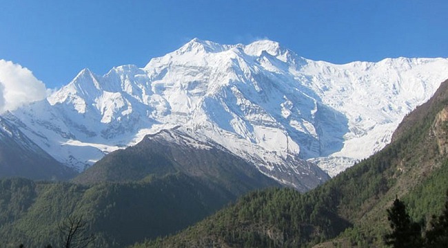
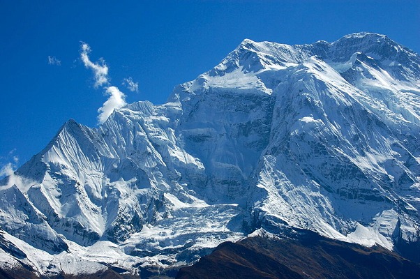
The highest point is Annapurna Base Camp (4,130 m / 13,550 ft). From here, trekkers enjoy a breathtaking 360-degree panorama of:
- Annapurna I (8,091 m)
- Annapurna South (7,219 m)
- Machhapuchhre (6,993 m)
- Hiunchuli (6,441 m)
- Gangapurna (7,455 m)
- Tent Peak (Tharpu Chuli)
Sunrise from Annapurna Base Camp is one of the most memorable highlights of the trek.
Trail Conditions
The Annapurna Base Camp trail is considered moderately challenging. Most sections are well maintained with stone staircases and marked paths. During spring and autumn, trail conditions are excellent, while monsoon brings muddy sections and winter may bring snow above Deurali.
Trekkers should wear sturdy hiking boots, use trekking poles, and maintain a comfortable pace to reduce fatigue.
Best Time to Trek
The best seasons are:
Spring (March–May):
- Blooming rhododendron forests
- Mild temperatures
- Excellent mountain views
Autumn (September–November):
- Stable weather
- Crystal-clear skies
- Ideal trekking conditions
Winter offers snowy landscapes and fewer crowds, while the monsoon season provides lush greenery but wetter trails.
Why Understanding the Trek Map Matters
Studying the Annapurna Base Camp Trek map before your journey helps you:
- Understand daily walking distances.
- Plan acclimatization and rest stops.
- Estimate trekking hours.
- Identify villages and overnight locations.
- Prepare physically for ascents and descents.
- Make informed decisions about your itinerary.
A well-planned route leads to a safer and more enjoyable trekking experience.
Why Choose Unique Sherpa Trek & Expedition Pvt. Ltd.?
Unique Sherpa Trek & Expedition Pvt. Ltd. specializes in professionally guided trekking experiences across Nepal. Our experienced Sherpa guides, personalized itineraries, quality accommodations, and commitment to safety ensure every trek is enjoyable and memorable.
Whether you choose a standard Annapurna Base Camp Trek, a luxury lodge trek, or a customized private itinerary, our team handles transportation, permits, accommodations, and logistics so you can focus on enjoying the Himalayas.
We also provide detailed route briefings and trekking maps before departure, helping every traveler feel confident and prepared.
Final Thoughts
The Annapurna Base Camp Trek map with distance is an invaluable planning tool for anyone preparing to explore Nepal's spectacular Annapurna region. Understanding the route, daily distances, elevations, and trekking times allows you to trek with confidence while fully appreciating the incredible landscapes and mountain culture.
Book your next Himalayan adventure with Unique Sherpa Trek & Expedition Pvt. Ltd. and experience the Annapurna Base Camp Trek with expert Sherpa guides, personalized service, and unforgettable mountain memories.